Lawson to Goulburn: October-November 2020
We had planned to walk from home to Wambeyan Caves and meet friends there for the weekend (and get a lift back), but in line with the rest of the craziness in the world, the Caves Trust had closed Wambeyan first because of bush fires (nearly a year ago), then floods (nearly 8 months ago) then CoVID19 fears (to top it all off). Because we'd already postponed this walk once, we decided to do a quick re-jig from Wambeyan to Goulburn, which would enable us to catch the train back.
Because of the late change (in the last week), our Hiking Spreadsheet was not perfect, but it was sufficient to keep everything together and get us to Goulburn, albeit after some long days. The weather had turned cold and wet, so we even did some last minute waterproof over-mits for our gloves.
Note: The Rating in the statistics below is just a calcuation based on distance, ascent / descent and pack weight. I use it to compare the various days.
Day 1: Home to Dash's Cave [18 km]
 After a week of rushing to get gear and food ready we headed out our back door at about 08:00, destined for Dash's Cave after walking up Bruce's Walk. We'd previously done Lindeman Pass some time ago, and were a little unsure how the track will have stood up to the massive rain earlier in the year. Bruce's Walk is always nice and a surprise it's so little walked.
Sandi wrote:
Bruce's Walk really lovely and the shelter I'd forgotten about was still very impressive.
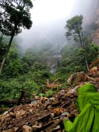
We had a second morning tea in Wentworth Falls and stopped for lunch at the bottom of Wentworth Falls, which were flowing beautifully.
 We arrived at Dash's Cave about 16:30 after nearly 8 hours walking.
Perry wrote:
Felt like a very big day, Lindeman's Pass was a bit of a slog, Extremely happy to see Dash's Cave.
Took the nano bag and a balance pocket inner and collected water from a little waterfall [a little further on].
Put the tent up (just the inner) and got dinner ready.
Sandi wrote:
Very tired. A lot of slippery stuff; Perry fell 3 times, or was it 4? A few abrasions.
Day 1 Statistics
- Length: 17.98km
- Walked: 7:51
- Break: 0:34
- Ascent: 885m
- Descent: 919m
- Rating: 63
Day 2: Dash's Cave to Maxwell's Farm [16 km]
Today we'd planned to jump off Sublime Point Ridge down to the fire trail, which should cut off many kilometres and hours from the day. It looked very do-able from the contour maps, but our memories from the previous walk didn't really encourage the idea, as all we could remember was dense bush.
It rained overnight. Sandi wrote:
Dash's Cave lovely, though splash into sleeping space was troublesome.
We got away about 09:15 after doing our best to dry the wet sleeping bags, and headed for Sublime Ridge. We had morning tea there and contemplated the shortcut, and were surprised to see some tape on a tree or two, so decided to give it a bash.
As we were heading across Lindemans Pass this morning, many surprising extra rock falls, just as the lady walking solo at the foot of Wentworth Falls said. All took a bit of care. Me very slow. Rain pitter-pattered away, so a lot of time in wet weather gear.
Those tapes happened to mark out my intended route (marked up as a GPS route), almost to the metre! In the end it was a pretty easy drop down to the fire trail, even the one small rock face that had to be negotiated had a rope installed, to make it easier (or maybe do-able?).
Once on the fire trail we marched off to pick up our food drop I'd installed the day before, at the junction of Sublime Ridge Fire Trail and Kedumba Pass Road.
Sandi wrote:
Our short cut was a mega bonus. I was struggling after Jamison Creek and confused as I hadn't realised that the short cut had cut off Leura Creek. Excessively blessed when Perry said Solitary Track turn off was coming up, and when I questioned him the penny dropped.
Perry wrote:
Food drop was a non-event, just stuffed everything in to the pack and headed off. The showers had let up so that was great. A different experience walking with an extra five days of food.
 We got into Maxwell's Farm about 16:30 in bright sunshine, so we unpacked everything to get it all crispy dry again. We set up camp in the 'picnic area', as it had better solar access and a new toilet!
Sandi wrote:
Very tired again getting to Maxwell's Farm. Really wanted boots off and sun has made it delightful. Feel like another thunderstorm likely overnight, so really wanting to make hay while the sun shines.
One leech under gaiter for me.
Day 2 Statistics
- Length: 15.71km
- Walked: 6:23
- Break: 0:47
- Ascent: 482m
- Descent: 972m
- Rating: 60
Day 3: Maxwell's Farm to Mobb's Swamp [26 km]
A long day ahead today, with significant rise up to Mobb's Swamp, all with a fairly heavy pack full of food (for Perry).
The walk through the burnt areas was absolutely breathtaking in its beauty.
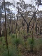
The amount and variety of blue/ purple flowers is breath taking. The landscape, with its emerald green grass and charcoal trees is just the most beautiful thing to walk through.
We finally made it into Mobb's at 18:57 and were delighted to find the creek flowing. Set up camp, cooked dinner and had energy for little else...
Sandi wrote:
Huge day today – TIRED.
Saw first snake today: black and just slid away on bank beside road
Flowers +++++ Fields of them!
 The orchids, in particular, have been prolific and beautiful. We didn't know it today, but they would be a feature of most days of this walk.
Day 3 Statistics
- Length: 25.83km
- Walked: 8:15
- Break: 0:30
- Ascent: 1,097m
- Descent: 486m
- Rating: 89
Day 4: Mobb's Swamp to Dexs Creek [15 km]
 Today entailed the crossing of the Cox River, which has had Sandi spooked for some time. I didn't think it would be an issue, even with the recent rain, but decided to take a rope at least to alleviate some of Sandi's concerns.
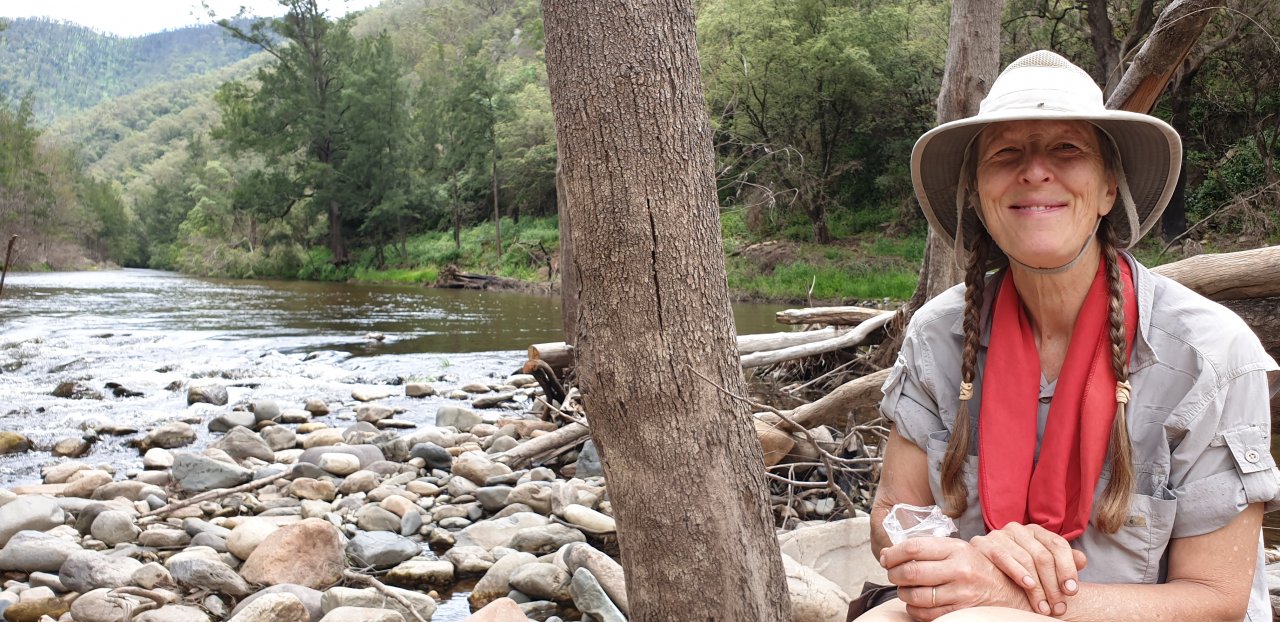
 The day dawned sunny and warm, and the morning's walk over Mt Yellow Dog and down to the Cox was very enjoyable, much more so than I'd remembered. Again, the landscape was gorgeously clothed in emerald and charcoal: maybe that's what lifted my spirits? We had a late morning tea on the Cox whilst we assessed the best place to cross. Thankfully, it was as I'd thought and not too deep or fast; very happy with the performance of our Keen sandals.
Sandi wrote:
Cox River — wow Perry — great crossing!
One black snake
 We turned up Strongleg a little too early, not that it mattered too much, as I'm sure it would have been just as hot walking anywhere up that ridge. Eventually we were getting near the top and could see all the way back to where we started the day.
The footpad was mostly indistinct, because of the fire and lack of traffic (we assumed) and a lot of the ground looked unfamiliar, so we relied on the GPS quite a bit to keep us on track and on the right ridge. Eventually we descended into Dex Creek, not by our usual route, and set up camp for the night very thankful that that day was behind us. Dex Creek was just as beautiful as we'd remembered it, although the fire had burnt out the little valley earlier in the year.
Day 4 Statistics
- Length: 15.4km
- Walked: 8:12
- Break: 2:11
- Ascent: 1,075m
- Descent: 852m
- Rating: 64
Day 5: Dexs Creek to UniRover Track [20 km]
 It was raining as we woke this morning, so a great opportunity to practice taking the tent down in the rain (that is: keeping everything dry); had breakfast under cover.
Today's destination is our food drop on UniRover Trail and a little campsite I'd sussed out a couple of days before the walk.
Sandi wrote:
Dry mostly by setting off time. Usual day of going ridges wrong and all our usual mistakes quickly rectified.
 The footpads were indistinct or nonexistent again today, the walk up to Mt. Cloudmaker did not have any familiarity at all (which is somewhat disconcerting when you are familiar with a walk). Nevertheless, it was very beautiful again through the new growth and the charcoaled trees.
 Walking these narrow and sharp ridges never ceases to amaze and thrill. It wasn't warm and the wind was strong. We had to shelter under a ridge for morning tea, but by the time lunch arrived at the saddle before Mt. Berry it was nicely warm.
Sandi wrote:
Sensational flowers again and some great views. Waterfall at Kanangra Walls gorgeous from a distance.
Lovely and cool for walking, but some solar charging (phew!)
Very scared going up onto plateau, tricky with poles and balance pockets on the packs. Almost freaked out. Perry big help. Plateau Walk good.
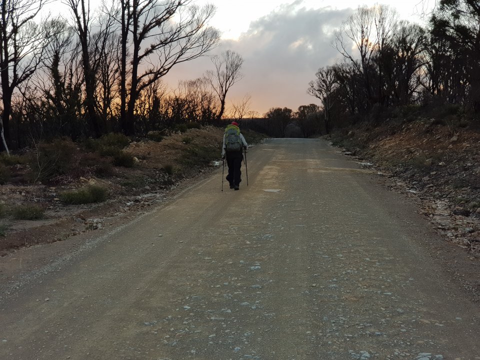
We were very late into camp, as we'd stopped for an afternoon tea at the beginning of the road. It's not a long walk from Dex into Kanangra Walls, but there's a decent amount of up and down, and with a fullish pack I thought it'd be nice to be fresh for the 5.5km road walk (not our favourite).
Sandi wrote:
Very late to camp. Food drop meal with aubergine, olives, cheese and crackers: wonderful.
Perry wrote:
Felt like a long day, but only 24km. Navigation generally OK, though getting off Cloud Maker always seems a problem for us.
Sandi did really well on the climb up to the Plateau, something she does not find easy.
Arrived at our "Good little campsite" totally exhausted and not really wanting the Food Drop meal (too much preparation). Too much food in the end too.
Day 5 Statistics
- Length: 20.02km
- Walked: 9:35
- Break: 2:00
- Ascent: 944m
- Descent: 803m
- Rating: 88
Day 6: UniRover Track to Kowmung River / Lannigans Creek [16 km]
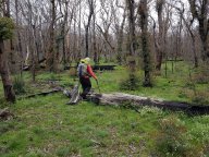 After a cold night we woke to the sound of the chainsaws of the teams clearing the track. I think they were working the Morong Creek Fire Trail as they gradually moved further away. Nevertheless we shook our legs, and headed down what looked like an old vehicle track. This didn't last very long and eventually we were navigating with the GPS.
Perry wrote:
Funny day navigating, first Uni Rover must be different on Open Topo and the GPS maps, which meant when the vehicle track disappeared it was difficult to pick which one to use.
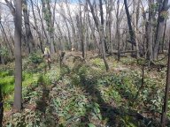 Whatever footpad existed, would soon be obliterated by the dense eucalyptus regrowth. Eventually newish track markers appeared on the blackened trees, and we played a game of hide-and-seek with them.
Sandi wrote:
Headed off in lots of clothes, cold night and morning, then sun burnt its way through and lovely sunny day. Fields of flowers, and many of the yellow orchids, several new ones again and many old favourites.
Had fun treasure hunting for track markers. Very dominant for a while, then none!
It was well after 18:00 when we got to the branch down to Lannigan's Creek. We decided to continue down the ridge to the Kowmung as it was significantly less steep (especially at that end of the day). Although marked as a campsite on the maps we didn't find anything very comfortable, but managed to fit ourselves in on the side of the river.
Sandi wrote:
This river always seems weedy, wet and dark. Though tonight – big treat with the dark of a solitary firefly!! So Cool. Blinking on and off, and just sitting there.
A delightful Potato orchid near Kowmung too.
Whilst Sandi got tea ready, I scouted off up river to see what the best thing to do in the morning would be to get up to the confluence of Lannigans and the Kowmung. Walking up the north bank looked as easy as anything. Tomorrow will tell…
Day 6 Statistics
- Length: 16.26km
- Walked: 8:17
- Break: 1:04
- Ascent: 280m
- Descent: 1,145m
- Rating: 58
Day 7: Kowmung River / Lannigans Creek to Batsh Camp [12 km]
Today's treat is a walk up Lannigans Creek. We'd brought our Keen sandals especially for this day and were looking forward to it, thankfully the day dawned sunny and warm.
I think I'd allowed just under 7.5 hours for this walk, which turned out to be wildly too optomistic. The creek walking was over very slippery stones all the way, and just that section took about 6 hours. It was a wonderful experience though.
Perry wrote:
Huge and delightful day. Exhausted.
6 hours walking up Lannigans Creek, really mostly wonderful. Very few snags or bad falls.
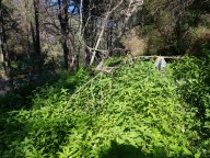 The day started walking up to Lannigans Creek along the northern bank of the Kowmung; mostly easy going, though the growth in some sections was over our heads.
 Crossing the Kowmung involved zero issues, then we set off up Lannigans, six hours later arriving at a marked tree for the ascent up the ridge to Batsh Camp. We stopped to wash and dry, get our boots on and have a quick bite. I'm pretty sure we missed the way up the ridge, as we seemed to get 'stuck' in the middle of a patch of scree where we'd take three steps forward and slide two back. We eventually got onto solid ground and continued up the ridge past Mt Morgan then to Batsh Camp.
We made it into Batch just after 19:00, more exhausted than what we thought we'd be. We're guessing that 6 hours of a strange gate and odd walking took its toll. Certainly our ankles and wrists were sore.
Sandi wrote:
Exhausted to camp. 19:00 hours again. Minimum done and into bed.
Unbelievably National Parks had closed Batsh Camp for fear of bits of tree falling on people. We were rather too tired to care, and never plan to pitch the tent below a Eucalypt in any case. We took a close look at the trees within the camp, and those outside, and couldn't see any percievable difference… so if the ones outside the camp were OK, then the ones inside were too (AFAICT).
Day 7 Statistics
- Length: 12.08km
- Walked: 9:30
- Break: 1:22
- Ascent: 668m
- Descent: 225m
- Rating: 44
Day 8: Batsh Camp to Limeburners Flat [17 km]
Cold over night, dawning to a gorgeous warm sunny morning. Both of us had an odd sleep.
Perry wrote:
A very difficult night, seemed to spend the whole night stuck between restless sleep and painful morning. Did not wake refreshed even after taking pain relief. It was a difficult day yesterday, even if the statistics don't show it. Parts of my legs are sore that have never been sore before, and our ankles are very sore.
We took the time to air everything, as the day's walk was not that long, and eventually got away at 10:30. Technically, we're now officially on the Federation Track.

Perry wrote:
Today's walk was pretty relaxed too, not too arduous, which meant we could trot along at a good clip. Unfortunately the GPS. didn't want to stop over lunch and did an extra 15km back and forth. it's track looked like a bad hair day.
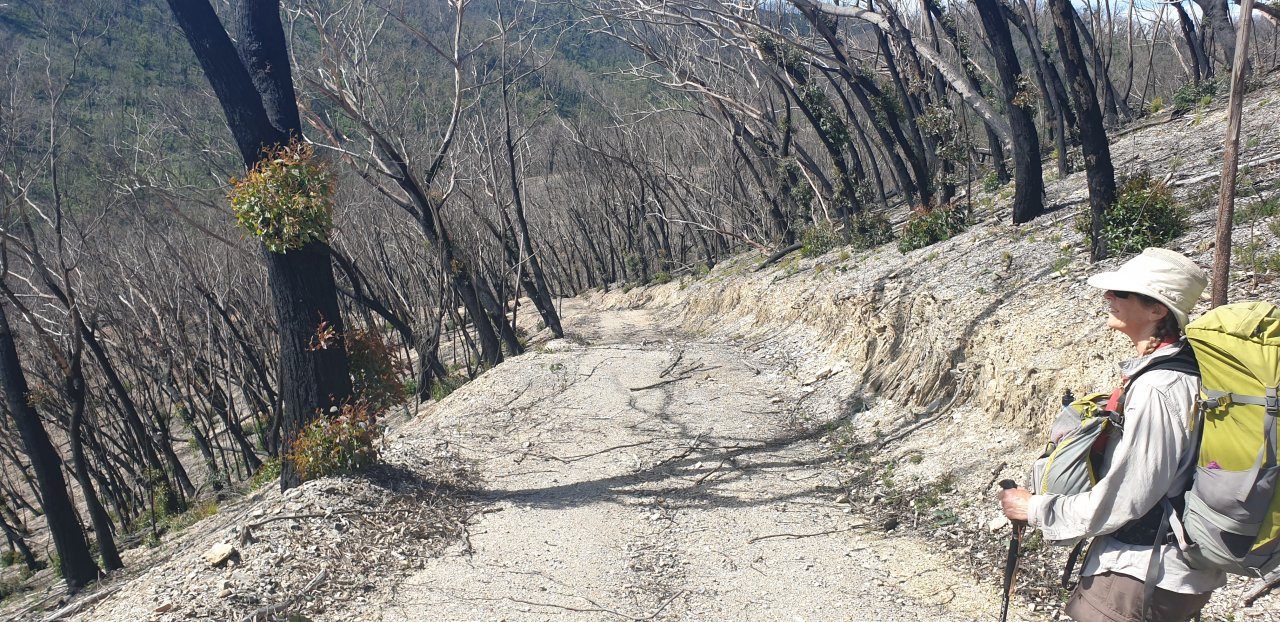
 Today's walk is entirely on fire trails and / or roads. Starts off on the Colong Stock Route, then turns into Limburners Fire Trail (where we had lunch), which it follows all the way down into Limburners Flat and our campsite. The ridge down to the flat had been fairly well burnt, and because of the nature of the landscape, regeneration has been slow. This meant that we felt fairly exposed and warm in the sun, and looking forward to the campsite beside Murruin Creek.
We walked really well, found many strategic puddles for hat and bandana wetting, and arrived in camp – a sensational camp – flat, lush green grass and a huge area and substantial stream.
We arrived at 16:00, after only five hours walking — just what the doctor ordered.

Sandi wrote:
We washed and sloshed our very hot and sweaty bodies in the stream. Still tired!
Perry wrote:
Wonderful afternoon washing bodies and dothes in the cool mountain creek. Relaxed dinner, in the light, and pitch of camp. This is an amazing spot, I guess the 2 hour hard slog down and back keeps people away? It's a lot of effort for a picnic.
Had a lot of zip in our step today, even though we still had significant pain from yesterday. After seven days hard slog, or even very hard, it felt like a mini rest day.
Day 8 Statistics
- Length: 16.89km
- Walked: 5:08
- Break: 0:23
- Ascent: 611m
- Descent: 679m
- Rating: 47
Day 9: Limeburners Flat to Guineacor Rd North [31 km]
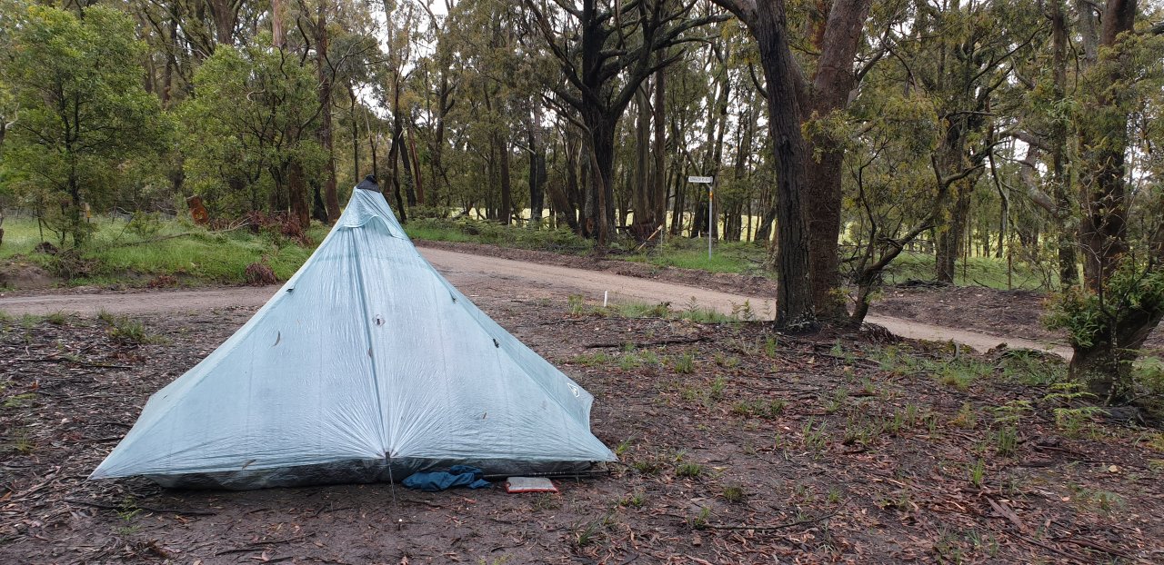
 Woke to rain this morning, so another good opportunity to practice taking down the new tent in the wet.
Perry wrote:
It really doesn't get much better than this: Yesterday walking in the warm sun cooling off in the shade of the trees, and today walking in the cool rain. Maybe it will snow?
We got away at 08:30 for the walk up the ridge to Range Fire Trail. The rain came and went a bit, but the walking was very easy. Turning onto the Fire Trail the weather seemed to worsen somewhat. We stopped for morning tea on a fallen tree, feeling quite cold in the rain.
It was about this point that we realised that we were going to make our intended camp spot (Pinch Ridge Dam) quite early, so we started making plans if that eventuated. We sort of calculated that based on the rate we were walking that we should make the next temporary campsite in good time.
 We made Range Fire Trail Dam just before 13:00 and Pinch Ridge just before 14:00. We'd decided to have a cooked lunch there, under the tarp, and walk on with greater zip to Guineacore Road for the night. Lunch was wonderful, so wonderful, it was tempting to just stay there for the night; but we'd made our decision, so after a leisurely 1.5 hour lunch we packed up and marched off…
Well, it didn't take too long to question the sense of our decision, we'd already done ~18km and just set off on an extra ~12km; most of which was on roads (not our favourite). We eventually, after much pain, made camp at 18:15.
Perry wrote:
Didn't quite work out… the zip disappeared somewhere along Wambeyan Caves Road and we litterally limped in. Tent up in the rain then crawled in and exchanged wet for dry and started to get warm. Ate our lunch with hot drinks, and that was the day.
Day 9 Statistics
- Length: 31.06km
- Walked: 8:41
- Break: 1:04
- Ascent: 785m
- Descent: 463m
- Rating: 80
Day 10: Guineacor Rd North to Taralga Showgrounds [15 km]
Sandi wrote:
Well all the pain of yesterday rewarded by a relaxed sunny get away, with all our sogginess aired at least and an early arrival into Taralga.
 The sun was out so I put up the line and aired as much as I could. One local driving past promptly stopped and said, "Well that's the first time I've seen that!" We had a nice long chat, he was a plumber doing a lot of work making sheds habitable for people. We eventually got away about 10:00 for the wander into Taralga.
 Initially the track heads down Guineacore Road North, and then gets a little confused with private land, which I'm pretty sure we didn't get right… but we ended up at the ford (and apparently the gazetted road) across Guineacor Creek, where we also stopped for morning tea. After the ford, the 'road' winds up through private property until it bumps into Guineacor Road South. A local farmer even gave us a lift across Woolshed Creek, so we didn't need to take our boots off again.
Sandi wrote:
Track utter change into a ramble through gorgeous farmland. Glad of sun as wind still cold. Coincided at 2nd creek crossing, where we would've had to remove boots, with a chap in a ute who ferried us across the creek on his tray.
We walked into town about 14:30, with most establishments either closed or about to.
Sandi wrote:
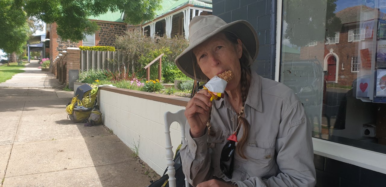
Both cafes closed at 14:00, so I had a banana paddle pop with a Golden Gaytime chaser. Mmmmm Mmmmm. Everyone in town very friendly.
 We then headed off to Taralga Rural, who was holding our Food Drop for us, then headed down to the showground to set up camp. The sun was still strong, so everything was put out to dry again.
Day 10 Statistics
- Length: 15.36km
- Walked: 4:01
- Break: 0:42
- Ascent: 703m
- Descent: 467m
- Rating: 39
Day 11: Taralga Showgrounds to Woodhouslee Siding [37 km]
 We had to drop our bucket at Taralga Rural for later collection, so decided to have our second coffee in town from the cafe. The locals are very friendly.
Sandi wrote:
Hard getting out of town in the morning as everyone frendly and Perry very keen to chat! Taralga really was impressive, friendly, clean, wholesome feel. No rush.
Got postcards for family sent. Perry dropped the bucket of leftovers. Paid for the tent site ($9 – was expecting $16)
We set off at a good pace, and then a farmer mowing his lawn stopped us for a chat again! Felt a bit freaked out at the timing. Big 35km day ahead…
There was a lot of road walking today, which is not our favourite. The countryside was beautiful, but as I wrote:
A lot of sameness today, with long streches of the same landscape, as pretty as that may be... it was somewhat odd that the upcoming interest was a left followed in 2km by a right turn.
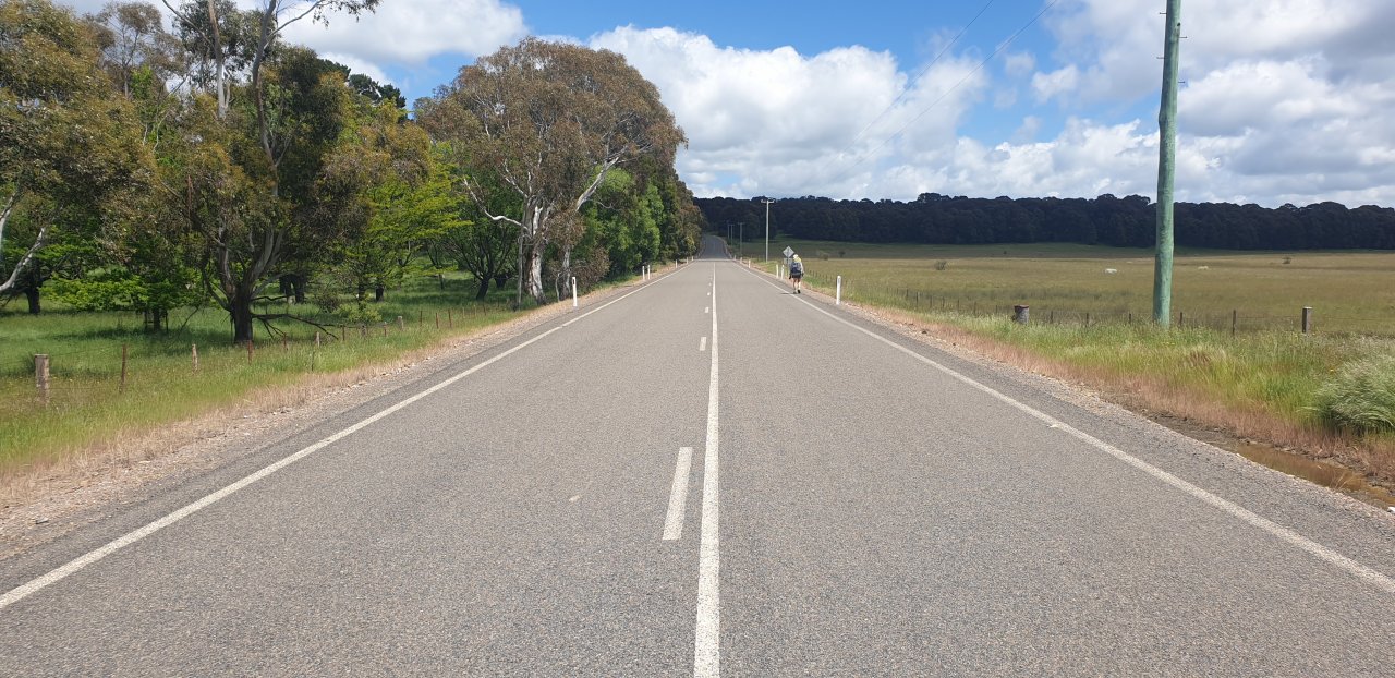
Finally got to Roslyn and found the rail formation. Very barricaded with multiple barbed wire. Found a spot with looser bottom wires, Perry doing this amazing roll with pack on under it. Well, little did we know this would be the rest of the day. Pastural land with healthy growth of weeds and grasses, plus stock and each paddock change with a new challenge of fencing — barbed, electric and everything in between. We went over, we went under, we went through and we went around.
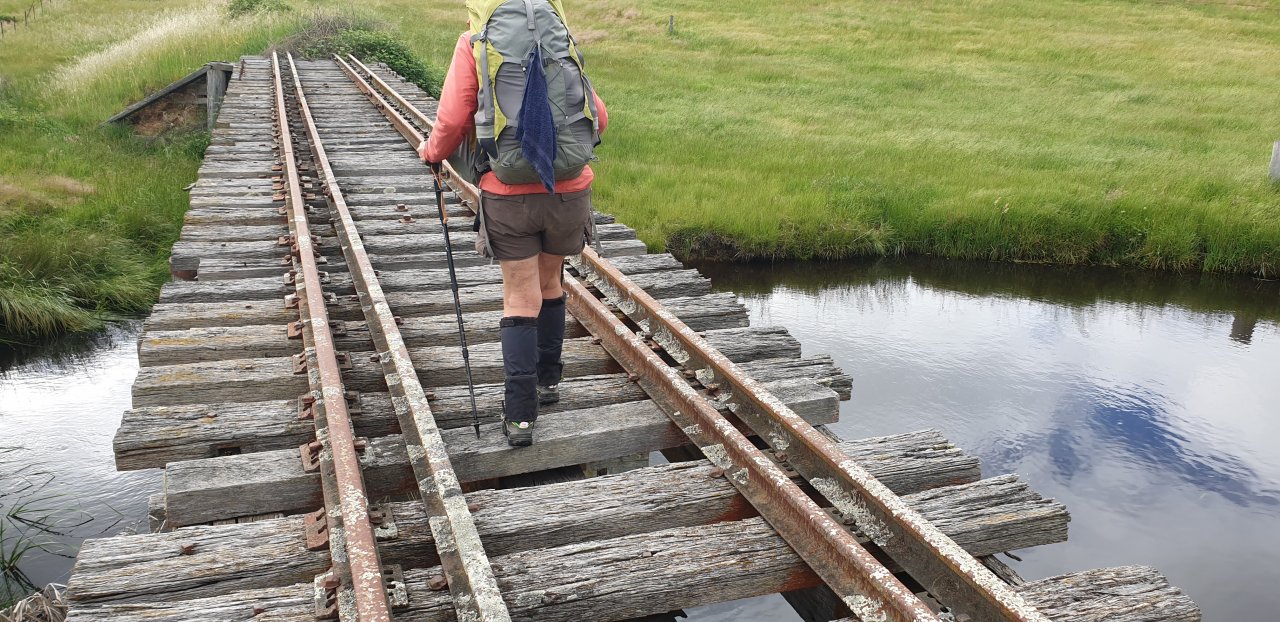
 It was a beautiful sunny day, but still had a cool wind, which at least didn't make the walking unbearable; but there was a lot of walking and not particularly easy walking. Walking on the old railway sleepers had its challenges, and some of the bridges had to be taken very carefully.
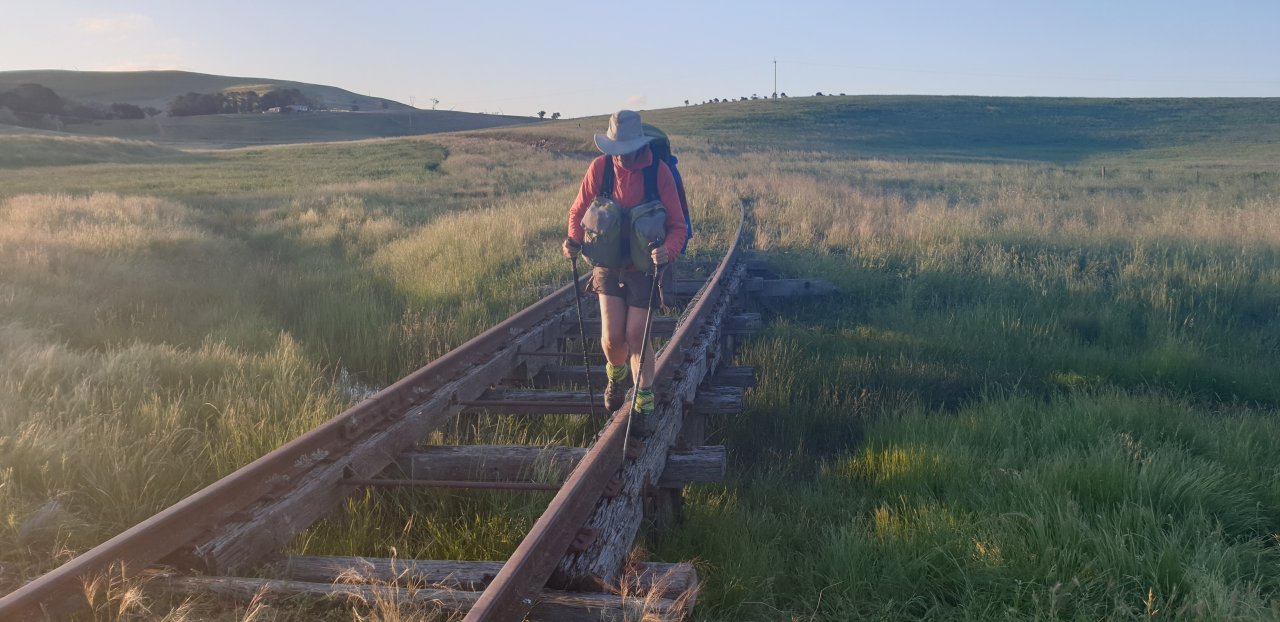
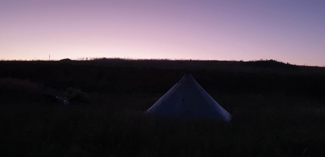
It was pretty good fun though, but we had to dig deep, and continue to dig deep again and again it seemed. We eventually made it into Woodhouslee Siding at 19:15 feeling just a little sore of leg. The sun was disappearing very quickly, so I headed off to Pejar Creek for some water whilst Sandi prepared dinner. It was a beautiful night after a lovely day, though we didn't quite have the energy to stay up and enjoy it, so it was off to an exhausted sleep.
Day 11 Statistics
- Length: 37.48km
- Walked: 8:27
- Break: 1:52
- Ascent: 501m
- Descent: 526m
- Rating: 86
Day 12: Woodhouslee Siding to Goulburn [32 km]
 Last night, on the way back from Pejar Creek I noticed the sunset reflected on this old car. During dinner, after the sun had gone down, it was still reflecting! Not only that, the Taxi sign on top was illuminated. Obviously some wag had set up a solar charger and battery: great fun.
Up and away by 08:45, this was going to be another longish day…
Perry wrote:
I think we both started a little tired and sore from yesterday, and got a shock at morning tea and lunch when we'd not done many kilometres. Meant after lunch we needed to concentrate and go as fast as we could.
Thinking back it was quite funny really. We'd stopped at 10:15 for morning tea and I'd got a little shock looking at the GPS — 4.8km walked. I thought, oh well, we're just warming up and we can exert a little more effort and catch up some. When we stopped for lunch at 14:00 we'd only done 15km, which was not even half way! At that point Sandi was saying things like, "Maybe we could camp out an extra night?"; so I decided I was going to take the lead and walk as fast as I could, where ever was easiest.
We did meet four farmers this day. In the rush of changing the Itinerary from Wambeyan Caves to Goulburn I'd not realised I'd removed some of the tasks, one which included getting permission to walk on the rail formation; it being managed by John Holland. We were not able to correct that now, so decided to take pot luck and deal with what we found. The first farmer we met was very friendly and we chatted for a long time, he was the one who turned his electric fences off for us. The next farmer was the complete opposite, and had a huge chip on his sholder and basically told us to get on 'that' road and walk back to Sydney.
We did get on that road, but were not going to walk back to Sydney. We thought it wise to ask the next farmer, seeing we'd had one of each so far. The next farmer said he couldn't care if we walked the rail formation, as it wasn't his land. He even showed us his gate to get onto the formation. The last farmer was a bit inbetween, basically not happy but unwilling to say we couldn't walk the formation.
Perry wrote:
One very angry and aggressive land owner, one slightly "you are not doing the right thing", and two who were very happy and even turned the electric fence off (after I'd got one jolt).
All the walk down the railway was a little apprehensive because of the farmers' agro.
It was a shame to be the object of such agression, although it's understandable: city people can do really terrible things in the country; and it put us on edge, not knowing what we were going to bump into next time.
Perry wrote:
The fences got easier and easier (eventually disappearing), and we eventually got to the motel an hour after I said we would.

 Nearly 70km in two days is not something I'd like to repeat any time soon, but it's good to know we can do it if it's needed. We installed ourselves in our room at the Heritage Alpine Hotel, showered and dressed in our clean clothes and headed out to the Paragon for dinner. I'm sure we would have gone there even if it wasn't the only place open: we always enjoy our visits, and this time was no exception: the staff are seriously lovely.
Of course we ate a lot of meat, and a lot of desert as well.
The following day we had a full rest day around Goulburn before catching the train at 18:00 back to Sydney. We seemed to spend that day going from cafe to cafe as well.
Day 12 Statistics
- Length: 32.18km
- Walked: 8:22
- Break: 2:11
- Ascent: 275m
- Descent: 369m
- Rating: 68
